

Top 7 Thermal Surveying Drones in the USA for 2026
Published on Thursday, February 26, 2026
Thermal surveying drones are advanced aerial vehicles equipped with cutting-edge thermal imaging sensors, designed to detect minute heat variations across buildings and terrains. These innovative tools are becoming increasingly popular in the USA due to their versatility and efficiency. They enable professionals and enthusiasts alike to conduct critical energy audits, optimize agricultural assessments, and enhance search and rescue operations. Buyers and operators in commercial, municipal, and industrial markets prefer thermal surveying drones for several reasons: they reduce inspection time and field labor, provide noncontact diagnostics for structures and infrastructure, reveal early signs of equipment failure, and allow safer operations in hazardous or hard-to-reach environments. In 2026, key consumer preferences emphasize high-resolution radiometric sensors, reliable flight endurance, robust data integration with mapping and analytics platforms, RTK positioning for precision, and durable hardware that meets industrial safety standards. As autonomy and AI-driven analytics become more common, these drones are expected to deliver faster, more actionable thermal insights across energy, utilities, agriculture, public safety, and infrastructure inspection workflows.
Top Picks Summary
DJI Matrice 350 RTK with Zenmuse H30T
The DJI Matrice 350 RTK paired with the Zenmuse H30T is the market-leading enterprise solution for thermal surveying thanks to its rugged airframe, RTK positioning and an integrated multi-sensor payload (thermal, zoom and laser ranging) that accelerates accurate inspections over large sites. It stands out against smaller platforms by offering superior payload flexibility and mission endurance — a higher upfront investment that often lowers total operational cost through reduced downtime and broader capability compared with consumer-grade thermal drones.
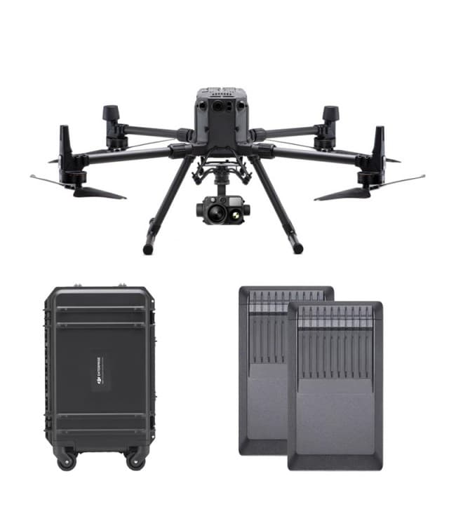
$25,000 – $35,000
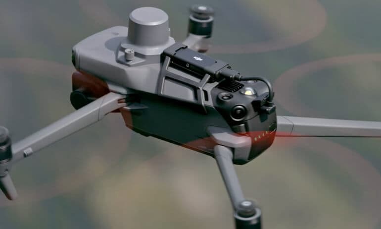
DJI Mavic 3 Enterprise
The DJI Mavic 3 Enterprise Thermal is designed for public safety and industrial applications, providing high-resolution thermal imaging and powerful performance. Its dual camera system includes a 4/3 Hasselblad camera for stunning visuals alongside a high-sensitivity thermal sensor. Coupled with a compact and portable design, this drone offers unmatched flexibility in the field. With features like hotkey access and quick mapping capabilities, it sets itself apart as a leader in enterprise drones.
Autel Robotics EVO II dual 640T V3
The Autel EVO II Dual 640T V3 delivers a cost-effective, high-resolution thermal core in a compact airframe, making it a strong value play for teams needing detailed thermal surveys without enterprise-level infrastructure. Compared with larger systems like the Matrice 350 RTK, it trades some modularity and endurance for a lower acquisition cost and faster deployment, offering excellent thermal performance for inspections and search tasks on tighter budgets.

DJI Matrice 30T
The DJI Matrice 30T occupies the sweet spot between portability and professional thermal capability for surveying teams that prioritize rapid response and ease of transport. It delivers integrated thermal imaging and enterprise-grade software at a lower price and smaller footprint than the Matrice 350 RTK, making it ideal for frequent, distributed inspections where keeping costs and logistics simple matters more than maximum payload flexibility.

Parrot Anafi USA Thermal
The Parrot Anafi USA Thermal is engineered for professionals, offering a unique combination of thermal imaging and 4K HDR video capabilities in a compact design. It features a 32x zoom capability and an innovative 180-degree tilt gimbal, allowing for versatile capturing angles. With its advanced AI features and rugged build, it meets the demands of various industries from public safety to construction. Its lightweight and portable nature makes it easy to deploy in the field, setting it apart from traditional drones.
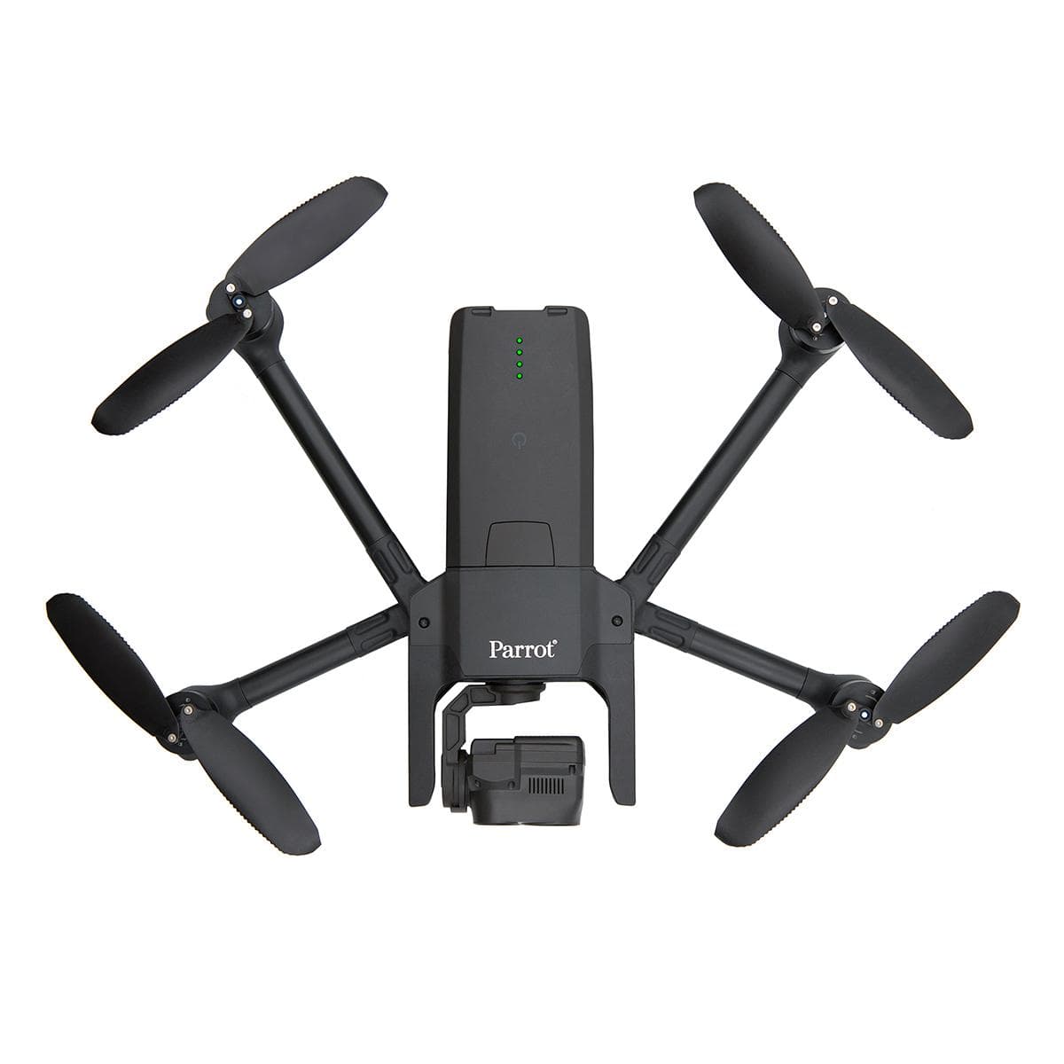
$5,000 – $6,000
Skydio X10 Thermal
The Skydio X10 Thermal distinguishes itself by combining robust autonomy and industry-leading obstacle avoidance with thermal imaging, which reduces operator workload and lowers training and safety costs on complex sites. While it may carry a premium compared with basic thermal quadcopters, its autonomous capabilities can deliver faster, safer surveys in cluttered environments where manually flown platforms are slower or riskier.
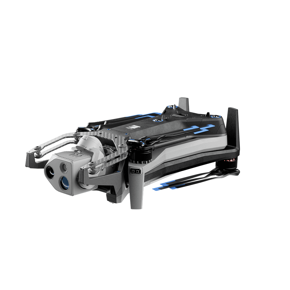
$14,000 – $20,000
FLIR SIRAS
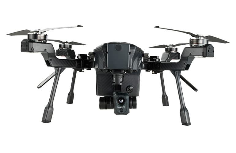
The FLIR SIRAS sensor is a specialist, high-sensitivity thermal payload designed for long-range detection and professional integration into larger aircraft or OEM platforms, offering thermal performance and stabilization that exceed typical drone-integrated cameras. Its niche position means a higher unit cost and integration effort, but for thermal surveying missions that require maximum sensitivity and range—such as perimeter security or detailed facility diagnostics—SIRAS can deliver capabilities beyond consumer and most enterprise drones.
$40,000 – $80,000
Why Scientific Research Supports Thermal Surveying Drones
Academic research, industry reports, and field trials consistently document the practical benefits of thermal imaging from drones. Studies show that airborne thermal sensing improves the accuracy and speed of building envelope diagnostics, can identify irrigation and crop stress earlier than visual inspection alone, and increases the effectiveness of night or low-visibility search and rescue operations. Combined with georeferenced data and analytics, thermal surveys help teams prioritize repairs, reduce energy waste, and cut operational costs. For buyers new to this technology, the evidence supports choosing platforms with radiometric capability (to capture measurable temperature data), stable imaging performance, and integrated software that streamlines analysis and reporting.
Building and energy audits: Thermal imaging reliably reveals insulation defects, air leaks, and moisture intrusion; drone surveys quickly map problem areas across large rooftops and facades.
Agriculture and vegetation monitoring: Canopy temperature correlates with plant water stress and evapotranspiration, allowing earlier irrigation and input decisions than visual scouting alone.
Search and rescue and public safety: Thermal sensors improve target detection in low-light and through partial cover, increasing rescue success rates and operator safety.
Equipment and infrastructure inspection: Thermal surveys can detect electrical hotspots, failing bearings, and other thermal anomalies before catastrophic failures occur.
Cost and efficiency: Field studies and pilot programs report reduced inspection times and lower overall field costs when replacing manual surveys with drone-based thermal inspections.
Frequently Asked Questions
Which drone should I buy for enterprise thermal surveys?
Choose the DJI Matrice 350 RTK with Zenmuse H30T for enterprise thermal surveying because it pairs a Zenmuse H30T tri-sensor payload (radiometric thermal, optical zoom, laser rangefinder) with survey-grade RTK positioning and an IP54 rugged airframe; rating 4.7.
What thermal and sensor specs does the Zenmuse H30T offer?
The Zenmuse H30T tri-sensor payload combines radiometric thermal imaging, optical zoom, and a laser rangefinder in one gimbal on the DJI Matrice 350 RTK; the combo is rated 4.7.
Is the Autel EVO II Dual 640T V3 cheaper than DJI thermal?
The Autel Robotics EVO II Dual 640T V3 lists at $4,559.05 (5% off) and includes a 640-resolution radiometric thermal sensor plus an 8K visual camera; it’s rated 4.6.
Is DJI Mavic 3 Enterprise Thermal good for public safety work?
Yes—the DJI Mavic 3 Enterprise Thermal is designed for public safety and industrial applications, with a dual-camera system (25x optical zoom plus high-sensitivity thermal); it has an average rating of 4.8.
Conclusion
Thermal surveying drones are now essential tools for energy auditors, inspectors, farmers, and first responders across the USA. The seven models featured here — DJI Matrice 350 RTK with Zenmuse H30T, DJI Mavic 3 Enterprise Thermal, Autel Robotics EVO II Dual 640T V3, DJI Matrice 30T, Parrot Anafi USA Thermal, Skydio X10 Thermal, and FLIR SIRAS — cover a wide range of needs from enterprise-grade endurance and payload flexibility to compact, field-ready solutions. For most professional workflows that demand the highest payload versatility, precision, and industrial features, the DJI Matrice 350 RTK with Zenmuse H30T stands out as the best choice among these options. We hope you found what you were looking for; you can refine or expand your search using the site search to focus on sensor type, flight time, payload compatibility, or price.