

Top 5 Photogrammetry Surveying Drones in the USA, 2025
Published on Saturday, April 12, 2025
Photogrammetry surveying drones are transforming the way industries such as real estate, construction, and geographic information systems (GIS) gather and analyze spatial data. By utilizing high-resolution imaging technology, these drones can create precise 2D maps and stunning 3D models that assist professionals in making informed decisions. Their ability to cover large areas quickly and efficiently is appealing to American businesses, especially in a landscape characterized by diverse geography and vast natural resources. As the demand for accuracy and efficiency in surveying increases, the use of photogrammetry drones is set to rise significantly in various sectors across the USA.
Top Picks Summary
DJI Phantom 4 RTK
The DJI Phantom 4 RTK is a highly advanced drone that excels in aerial mapping and surveying. Its integrated RTK module provides centimeter-level accuracy, making it a favorite among professionals in the geospatial industry. The drone features a robust design, easy-to-use interface, and exceptional flight stability, which enables it to capture high-resolution images and data efficiently. With its impressive flight time and advanced obstacle avoidance, the Phantom 4 RTK is perfect for precise and reliable mapping solutions.

senseFly eBee X
The senseFly eBee X is renowned for its versatility and ease of use, making it a top choice for surveyors and mapping professionals alike. With various payload options and flight configurations, it can cover large areas quickly while maintaining high precision. The eBee X is designed for rugged environments and can withstand challenging weather conditions, ensuring reliable performance. Its streamlined workflow and powerful software integration significantly enhance productivity in the field.

$10,000 – $15,000
Delair UX11
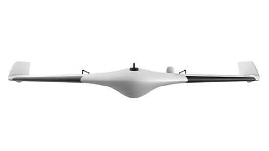
The Delair UX11 stands out with its fixed-wing design, enabling long flight times and extensive coverage for aerial mapping and inspection tasks. Known for its durability and efficiency, the UX11 excels in capturing detailed imagery and data, which is essential for various industries such as agriculture and construction. Its advanced RTK capability further enhances the accuracy of geospatial data collection. The UX11 also offers a user-friendly interface and seamless data processing through Delair's software solutions.
$15,000 – $20,000
Quantum Systems Trinity F90
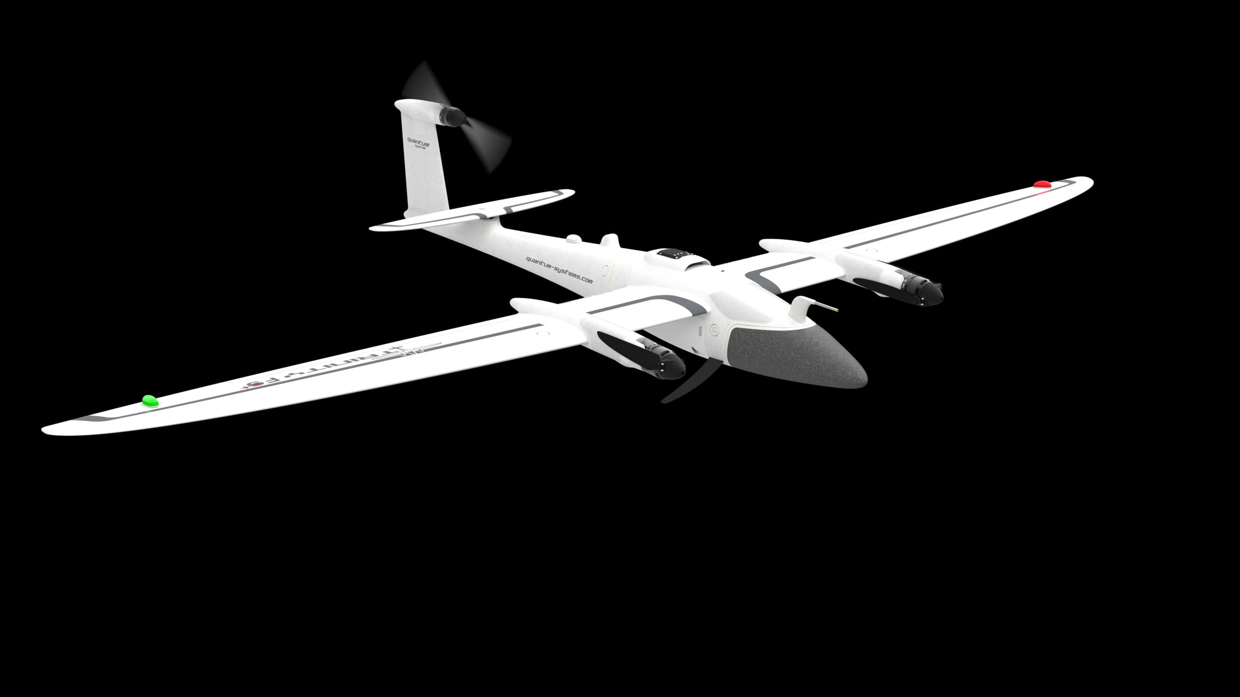
The Quantum Systems Trinity F90+ is a cutting-edge drone that combines the advantages of fixed-wing and multi-rotor designs, allowing for vertical take-off and landing (VTOL) capabilities. Its lightweight and robust construction allows for extended flight times up to 90 minutes, making it ideal for extensive mapping missions. The Trinity F90+ is equipped with advanced sensor payloads and offers high-precision GNSS capabilities, ensuring detailed and accurate data collection. Its ease of deployment and flexibility in various applications set it apart from other drones in its class.
$5,000 – $6,000
Microdrones mdLiDAR3000LR
The Microdrones mdLiDAR3000LR is specifically designed for high-precision LiDAR mapping and surveying, making it a top choice for professionals in engineering and environmental studies. Its unique combination of drone technology and long-range LiDAR capabilities enables the efficient collection of detailed topographical data over large areas. The mdLiDAR3000LR’s robust design and advanced processing software facilitate seamless integration into existing workflows. Its ability to deliver reliable data in challenging terrain distinguishes it as a leader in the LiDAR market.

$15,000 – $18,000
The ability to generate detailed spatial data quickly and efficiently makes photogrammetry surveying drones essential for modern surveying projects.
Understanding Photogrammetry Surveying Drones
Photogrammetry surveying drones are cutting-edge technology that enhance data collection and analysis capabilities in various industries.
High-resolution imaging allows for the creation of highly detailed maps and models, providing a reliable base for analysis.
Drones can cover large areas in a short period, ensuring timely data collection for projects, particularly in the United States's vast landscapes.
The resulting 3D models are instrumental in visualizing terrain, making them essential for real estate assessments and construction planning.
Drones equipped with photogrammetry tools reduce the reliance on traditional surveying methods, mitigating risks and decreasing costs.
Multiple industries, including agriculture and environmental monitoring, are leveraging these technologies for better decision-making.
Studies indicate that integrating drone technology with GIS increases the accuracy of spatial data by up to 30%, significantly enhancing project outcomes.
Frequently Asked Questions
Should I buy DJI Phantom 4 RTK for surveying work?
Buy the DJI Phantom 4 RTK if you need high-precision aerial mapping, since it has an integrated RTK capability and an average rating of 4.7.
What exact RTK capability does DJI Phantom 4 RTK include?
DJI Phantom 4 RTK includes an integrated RTK module for centimeter-level accuracy, aimed at precision mapping.
How does DJI Phantom 4 RTK price compare to eBee X?
DJI Phantom 4 RTK costs $1,899.00 USDwith a 4.7 average rating; senseFly eBee X is rated 4.6, but no price is listed in the provided data.
Is Delair UX11 better for long-range mapping than quadcopters?
Delair UX11 uses a fixed-wing design engineered for large area surveys, with an average rating of 4.7 for extensive coverage.
Conclusion
In summary, photogrammetry surveying drones represent a significant advancement for industries across the United States in 2025. We hope you found the information you were looking for! Feel free to search for more specific topics using our search bar.