

Top 5 Lidar Surveying Drones for Professionals in the USA, 2025
Published on Saturday, April 12, 2025
Lidar surveying drones utilize advanced laser scanning technology to capture precise, high-resolution 3D maps of terrain and structures. As the demand for accuracy grows in industries such as forestry, construction, and environmental monitoring, these innovative drones have become increasingly appealing to professionals and organizations in the USA. Lidar drones significantly enhance data collection, enabling users to make informed decisions that improve efficiency and sustainability in various projects. With their ability to provide detailed insights into landscapes and structures, Lidar surveying drones are revolutionizing the way professionals approach their work.
Top Picks Summary
DJI Matrice 300 RTK with Zenmuse L1
The DJI Matrice 300 RTK with Zenmuse L1 is a game-changer in the drone industry, known for its rugged design and advanced AI capabilities. This drone features an impressive flight time and the ability to carry multiple payloads, which sets it apart from other commercial drones. Its integrated L1 LiDAR sensor offers high-precision data collection, making it ideal for various applications such as mapping and surveying. Its robust ecosystem, including smart flight modes and real-time data transmission, enhances operational efficiency and safety.

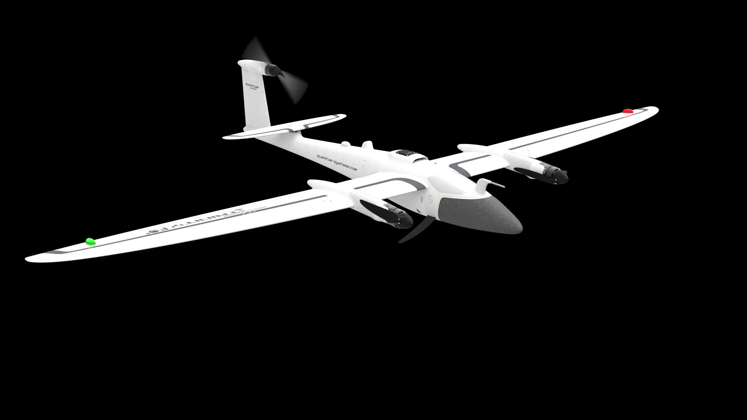
Quantum Systems Trinity F90
The Quantum Systems Trinity F90+ is a versatile and innovative UAV designed for fixed-wing and multi-rotor applications. Its unique design allows for vertical takeoff and landing (VTOL), providing flexibility in diverse environments where space is limited. With an extended flight time and high endurance, the Trinity F90+ stands out for its ability to cover large areas efficiently. Additionally, its advanced connectivity features enable real-time data sharing, greatly benefiting industries such as agriculture, construction, and environmental monitoring.
$10,000 – $15,000
Microdrones mdLiDAR3000DL aaS
The Microdrones mdLiDAR3000DL aaS is a leading solution in aerial LiDAR technology, renowned for its high accuracy and efficiency in data collection. It combines advanced LiDAR sensors with integrated drone systems, ensuring reliable topographical mapping and surveying. This product distinguishes itself with its ease of use and comprehensive cloud processing services for rapid data analysis. The mdLiDAR3000DL is particularly advantageous for professionals in surveying and civil engineering, providing unmatched precision and productivity enhancements.

$15,000 – $25,000
YellowScan Voyager
The YellowScan Voyager is an exceptional LiDAR mapping solution that stands out for its lightweight design and ease of integration with UAVs. Boasting high precision and an impressive range, it is specifically tailored for various applications, including forestry, mining, and environmental studies. Its user-friendly interface and efficient post-processing workflow greatly enhance productivity. The Voyager’s reliability makes it an indispensable tool for professionals seeking accurate geospatial data without compromising on performance.

$25,000 – $40,000
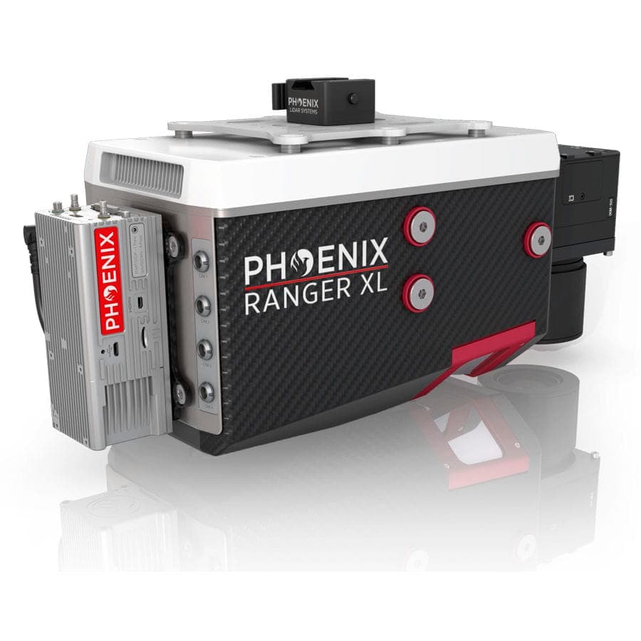
Phoenix LiDAR Systems Ranger LRX
The Phoenix LiDAR Systems Ranger LRX is a cutting-edge LiDAR mapping solution that excels in versatility and performance. With its unique ability to capture high-resolution structures and terrain data, it is perfect for urban and rural applications alike. The Ranger LRX features advanced sensor technology and customizable configurations, allowing users to tailor the system to their specific project needs. Its integration with multiple drone platforms further enhances its usability, making it a top choice for surveyors and researchers.
$20,000 – $30,000
Their ability to capture precise elevation data in diverse environments makes Lidar surveying drones the leaders in topographic mapping.
Understanding Lidar Surveying Drones
Lidar drones blend advanced technology with practical applications, fostering efficient surveying techniques across various industries.
Lidar technology uses laser pulses to measure distances, resulting in accurate and detailed terrain mapping.
Most Lidar surveying drones can cover large areas quickly, reducing the time taken for survey projects.
Data collected by Lidar drones can be processed to create 3D models that help visualize complex terrains and structures.
Lidar is particularly effective in forestry management, where it can assess tree height, canopy cover, and biomass.
These drones are also crucial in construction, providing precise measurements for land development and project planning.
Environmental monitoring with Lidar aids in assessing habitat changes and managing natural resources effectively.
Frequently Asked Questions
Which drone should I pick for professional LiDAR mapping?
DJI Matrice 300 RTK with Zenmuse L1 is a strong choice because it includes an integrated Zenmuse L1 LiDAR and is rated 4.8, with listingPrice $11,999.99 USDfor professional high-precision mapping.
Does the DJI Matrice 300 RTK include LiDAR integration?
Yes—DJI Matrice 300 RTK with Zenmuse L1 features an integrated Zenmuse L1 LiDAR, and its averageRating is 4.8.
How does DJI Matrice 300 RTK pricing compare?
DJI Matrice 300 RTK with Zenmuse L1 costs $11,999.99 USDwhile Quantum Systems Trinity F90+ has no price shown and Microdrones mdLiDAR3000DL aaS has no price shown—so DJI is the only listed price.
Who is the Microdrones mdLiDAR3000DL aaS for?
Microdrones mdLiDAR3000DL aaS is positioned for LiDAR data processing services with user-friendly operational setup, and it has an averageRating of 4.5.
Conclusion
In USA, the application of Lidar surveying drones is transforming industries by promoting sustainability and enhancing data accuracy. We hope you found the information you were looking for about the top Lidar surveying drones for 2025. If you have any specific questions or need further information, feel free to use the search bar.